Hundreds of global and regional studies on sea level rise and coastal flooding may have underestimated sea levels by an average of 20 to 30 centimeters.
Out of 385 peer-reviewed studies published from 2009 to 2025, around 99 percent incorrectly estimated ocean height, leading to sea level approximations that were off by as much as a century of projected sea level rise, researchers report March 4 in Nature. These included 45 studies referenced by the United Nations’ Intergovernmental Panel on Climate Change in its Sixth Assessment Report.
The findings suggest that the toll of future sea level rise is even greater than anticipated. A one-meter increase in sea level — which could happen in a century — would submerge areas inhabited by as many as 132 million people, the researchers say — an increase of up to 68 percent more people than previously suggested.
Sea level rise is slow but dangerous if you ignore it, says climate scientist Anders Levermann of the Potsdam Institute for Climate Research in Germany. “That’s basically what we’ve done unknowingly,” he says. “These estimates now tell us that we are much further in the future than we thought we were.”
Physical geographers Katharina Seeger and Philip Minderhoud of Wageningen University in the Netherlands discovered the discrepancy after evaluating hundreds of global and regional studies on sea level rise, storm surges, tsunamis and general coastal hazards. Over half were published in the last five years. Their analysis revealed a common mistake pervading 90 percent of the evaluated research related to the type of data used.
Generally, scientists and engineers assessing an area’s vulnerability to coastal hazards compare land elevations with sea levels. Ideally, land elevation data include actual measurements, such as those gathered by satellites. Likewise, sea level data should include measurements collected by tidal gauges, ocean buoys, satellites or other monitoring instruments.
But Seeger and Minderhoud found that most of the studies they evaluated neglected to include direct sea level measurements, instead relying on wonky, digital shapes called geoids.
A geoid can be imagined as an irregular, undulating blue ball representing the global ocean based on data about Earth’s gravity and rotation. But there are two key problems with using geoids to estimate sea level. First, they can be off by several meters in areas lacking gravitational data. Second, geoids do not account for ocean circulation, currents, winds, tides, water temperatures and other factors influencing sea level.
The new work shows that most research did not correct for these geoid shortcomings with actual measurements when estimating sea level, Minderhoud said at a March 3 news briefing. Such corrections are common practice in oceanography but have not yet been widely adopted by coastal hazard researchers, he said.
In addition to the 90 percent of studies that made the geoid assumption, another 9 percent improperly aligned measurements of sea level and land elevation, the researchers found. Less than 1 percent of the evaluated studies properly aligned the data, Seeger said.
Using a global dataset of sea levels based largely on satellite measurements of the ocean surface, Seeger and Minderhoud estimated how far off the evaluated studies were. They found that the studies underestimated coastal sea level height by an average of 24 to 27 centimeters (about 10 inches), depending on the specific geoid used.
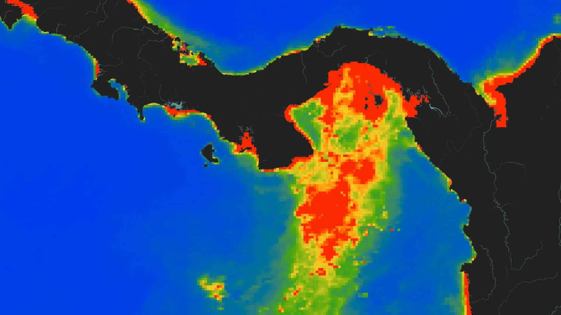
In some places, the discrepancy was much greater due to a lack of data. For instance, in parts of Southeast Asia and the Indo-Pacific, sea levels are more than one meter higher than studies had estimated. In a small number of places, studies had overestimated sea level. These regions include the northern Mediterranean, Antarctica and some islands in the Atlantic and Pacific. The smallest discrepancies were found in eastern North America and northern and western Europe.
Given the overall underestimation, though, the advance of the oceans “is even worse than what’s been reported,” says coastal geologist Patrick Barnard of the University of California, Santa Cruz. The new work, he says, underscores how important it is for planners to avoid using findings from big picture studies in local adaptation plans without additional verification.
To help future studies, Seeger and Minderhoud have produced publicly available coastal sea level data that integrates the most recent measurements. “We hope that we as a scientific community can … just move forward all together,” Seeger said.