Additional contributions by Haohsiang Ko, Chris Campbell and Annalee Mather.
The location and route of the tunnel system for the hydropower dam are indicative, as official designs have not been made public. While the route shown is approximate, it follows an elevation change consistent with the proposed plans for the facility.
Mehebub Sahana, an environmental geographer at Manchester University, and Ye Huang, a researcher at Global Energy Monitor, assessed possible locations for the facility and reviewed satellite imagery to determine whether recent construction activity was linked to the project.
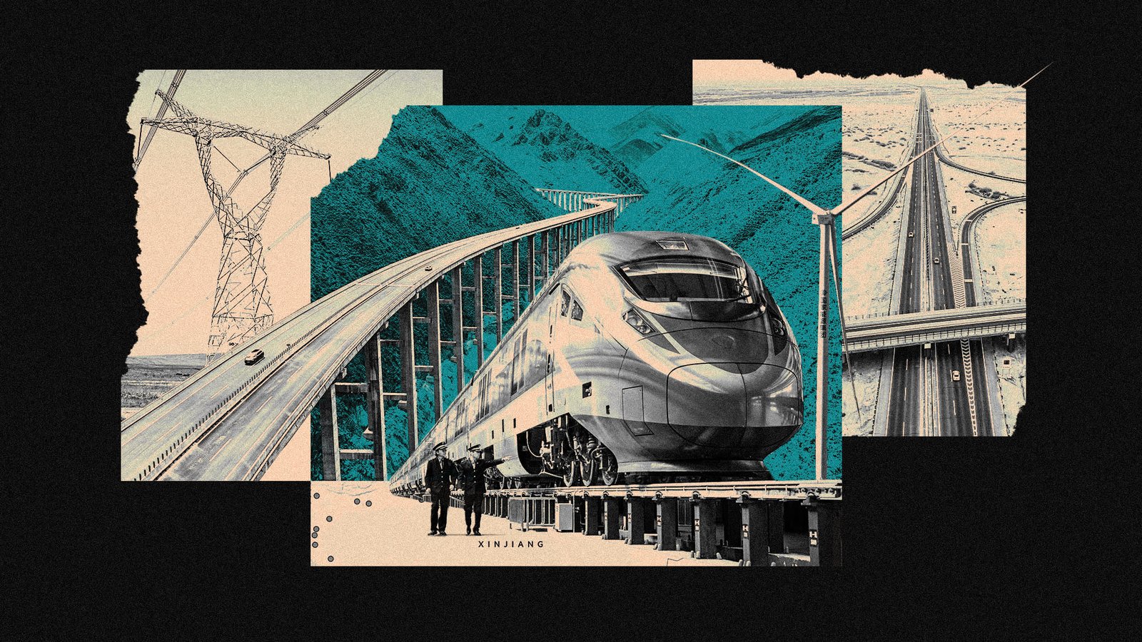
Images of major infrastructure projects included at the top of the story, in the order in which they appear: China News Service/Getty Images; CFOTO/Sipa USA; Xinhua/Shutterstock; CFOTO/Sipa USA; Reuters; Xinhua/Shutterstock; CFOTO/Sipa USA; CHINE NOUVELLE/SIPA/Shutterstock. Videos from ski resorts in Xinjiang were sourced from China’s Xiaohongshu social media platform.